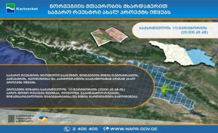
National Agency of Civil Registry together with land registration, cadastre, geodesy and cartography agency begins new project. The supporter of the project is the government of Norway, reports GHN.
The aim of the project is creation of aerial photo maps of 1/3 of the territory (20000 kv.km) of Georgia that is used on cadastre mapping, land use planning and land management.
The project also takes into account to equip agency with stereo-stations and proper techniques for processing of orthopotos. In the frame of the project experienced consultants will train Georgian specialists of photo and stereogram, also in processing orthopotos and about issues of technical specifications of aerial photo shoot.
The project will begin in the beginning of 2015 and will end in 2017. The common value of the project is 1,7 million Euros. The grant of the government of Norway is 1 400 000 Euros and share of the agency if 300 000 Euros.
Land registration, cadastre, geodesy and cartography agency of Norway (Statens Kartvek) has big experience in the sphere of cartography and geodesy. With the support of the government of Norway the agency helped Balkan and former Soviet countries in sharing of geographical information.

